Deploy the same high-precision instruments our engineering team trusts. From multi-constellation GNSS to high-density LiDAR, our catalog represents the pinnacle of measurement technology.
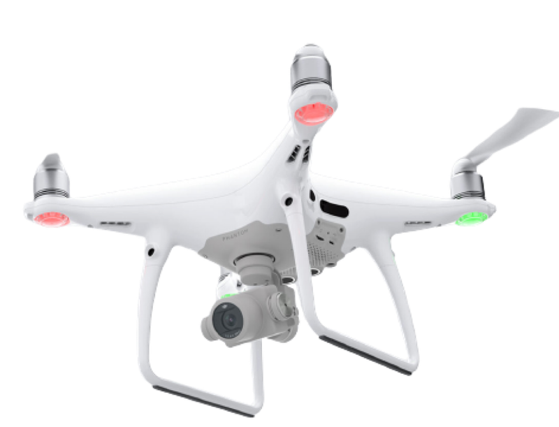
With the advantage to access hard to reach areas and gather data quickly, safely and efficiently, drones can reduce the...
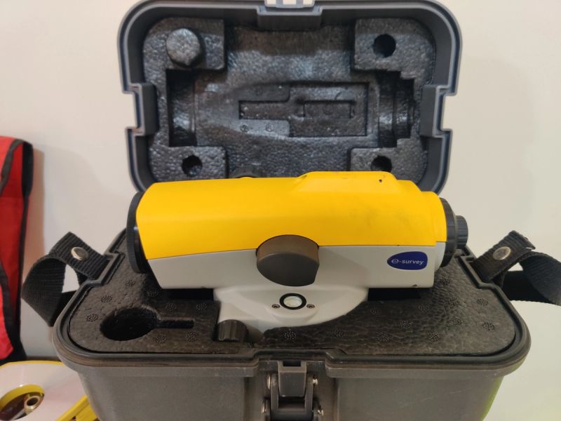
Level equipment are very important for any activity where plumbness and slopes are required. They are very durable due t...
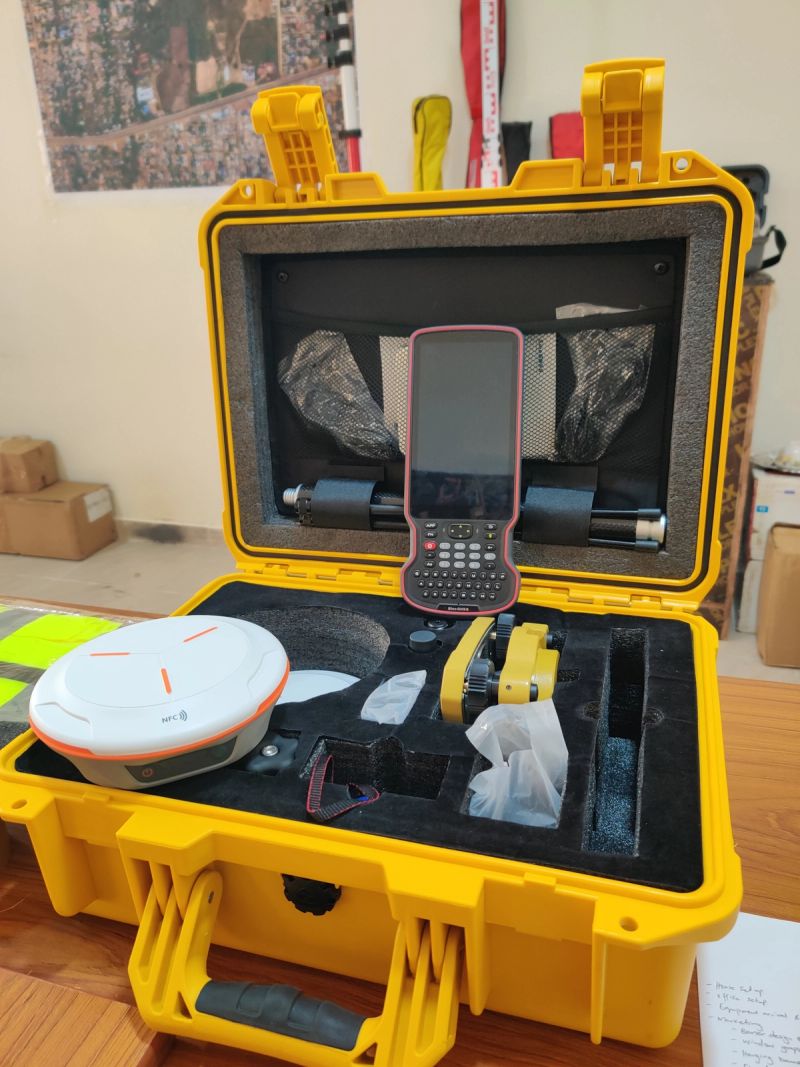
These are Global Navigation Satellite Systems used to provide accurate location data essential for geodetic controls est...
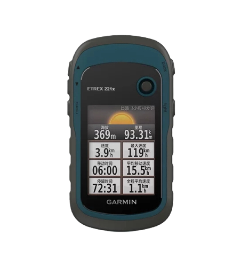
These are versatile tools used for range of outdoor activities. They offer reasonable location data essential to navigat...