
The Impact of LiDAR on Urban Surveying Accuracy

Apex Surveyors Team
Cities are growing up and out at the same time, and that is putting real pressure on how surveyors do their jobs. Traditional surveying methods work well on open ground, but they start running into trouble in dense, busy urban environments where every street, intersection, and building adds another obstacle. This is where LiDAR is changing what is possible.
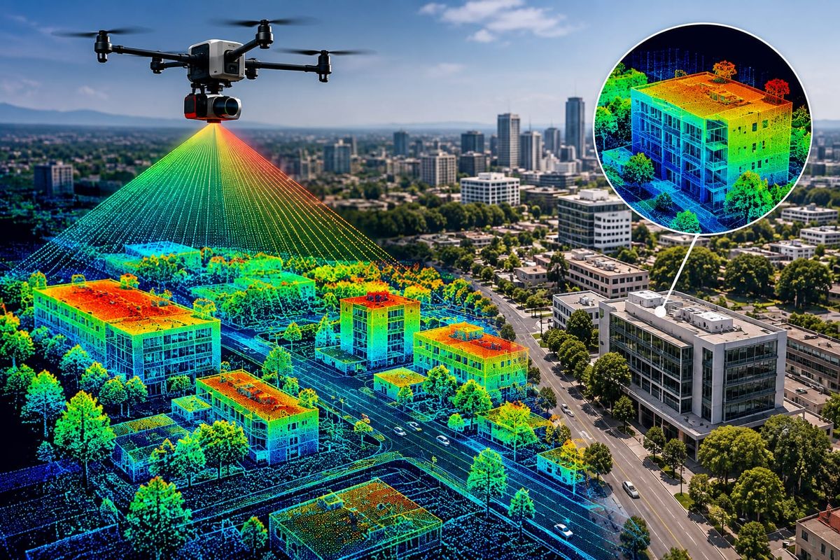
LiDAR, short for Light Detection and Ranging, uses rapid laser pulses to map out surfaces in remarkable detail. A LiDAR unit sends out millions of laser beams every second and measures how long each one takes to bounce back. The result is a "point cloud," a highly accurate 3D map of a physical space built from millions of individual data points.
As one of our field engineers put it, LiDAR doesn't just measure points, it captures the reality of a space in a way that lets a team solve problems before construction ever begins.
Why LiDAR Is Changing Urban Surveying
Speed
Mobile LiDAR units can collect data while moving at normal traffic speed. That means a survey that used to take a team days to complete on foot can now be captured in a fraction of the time, cutting field time by up to 70 percent on many projects.
Density
A LiDAR system can capture up to a million points per second. That level of detail simply is not possible with a traditional total station, where each point has to be measured one at a time. More data points mean a more complete and reliable picture of the site.
Safety
Busy intersections and active construction sites are not the safest places for a surveyor to stand for long stretches with a prism pole. LiDAR lets teams capture accurate data from a distance, or even from a moving vehicle, which cuts down on the time anyone needs to spend in traffic or near heavy equipment.
Automation
Point cloud data can be brought directly into BIM software, which takes a big chunk of manual drafting work off an engineer's plate. Instead of building a model from scratch, teams can start from an accurate digital twin of the actual site.
Where This Is Heading
As cities lean further into smart infrastructure and connected systems, LiDAR is only going to matter more. It already plays a role in things like autonomous vehicle navigation and real-time structural monitoring, and that role is expanding fast. For surveyors, it means the job is shifting from simply measuring a space to building a detailed, usable digital version of it, one that architects, engineers, and city planners can all work from.
For any project in a dense or fast-moving urban environment, LiDAR is quickly becoming less of a nice-to-have and more of the standard.
Bringing LiDAR to Your Next Project
Our team uses mobile LiDAR and SLAM technology to capture dense, accurate 3D data on complex sites across South Sudan, from busy road corridors to tight urban infill projects. If you are planning work in a challenging environment, this kind of detailed mapping can save real time and real risk before the first shovel hits the ground.
Talk to our team about whether LiDAR is the right fit for your next survey.