
5 Signs Your Construction Site Needs a Topographic Survey Before You Break Ground

Apex Surveyors Team
Every builder wants to get moving fast. Permits are signed, materials are ordered, and the team is ready. But there is one step that quietly decides whether a project finishes on time and on budget, or turns into a costly mess: the topographic survey.
A topographic survey maps the shape of the land. It shows the elevation changes, the slopes, the drainage paths, the existing structures, and the natural features that sit on or near your site. Skip it, and you are essentially building on guesswork. In Juba and across South Sudan or elsewhere, where terrain, seasonal flooding, and undocumented boundaries can catch developers off guard, that guesswork gets expensive.
Here are five signs that tell you it is time to bring in a survey team before construction begins.
1. Your Site Has Uneven or Sloped Terrain
Flat ground is rare and easy. Sloped or uneven land is where problems hide. Without accurate elevation data, contractors often misjudge how much earth needs to be cut or filled, which throws off budgets and timelines fast. A topographic survey gives your engineering team exact contour lines and elevation points, so foundation design, drainage planning, and grading work are based on real numbers instead of estimates.
2. Drainage and Flooding Are a Concern
A topographic survey identifies natural water flow patterns, low points, and drainage corridors across your land. This information lets architects design proper stormwater systems and avoid the nightmare of a flooded foundation six months after handover.
3. You Are Building Near Roads, Utilities, or Other Structures
Any project close to existing infrastructure, roads, power lines, water mains, or neighboring buildings, needs precise data on where those features actually sit. A topographic survey captures the exact position of everything on and around your site. This protects you from utility strikes during excavation, easement violations, and awkward surprises when a wall ends up a few feet closer to a road than the plans assumed.
4. Your Land Records Are Old, Missing, or Unclear
Land ownership documentation in growing cities like Juba is not always up to date. If your title deed references boundaries that were never professionally measured, or if a neighboring plot has expanded onto yours over the years, you are exposed. A current topographic and boundary survey gives you a legally defensible record of exactly what you own and where your property lines fall, which is invaluable if a dispute ever comes up.
5. You Are Designing Anything More Complex Than a Simple Structure
Multi-story buildings, road extensions, drainage networks, and industrial facilities all rely on precise site data from day one. Architects and structural engineers cannot design accurately around assumptions. A topographic survey feeds directly into 2D and 3D digital models, giving your design team a true picture of the land so foundations, grading, and utility routing are planned correctly the first time.
The Real Cost of Skipping This Step
None of this is about ticking a box. Every one of these five situations has led to real, avoidable losses on real projects: reworked foundations, flooded basements, boundary lawsuits, and blown budgets. A topographic survey typically costs a small fraction of a project's total budget, yet it protects the entire investment that follows.
If any of the signs above sound familiar, it is worth getting your land properly surveyed before the first shovel hits the ground.
How Apex Surveyors Can Help
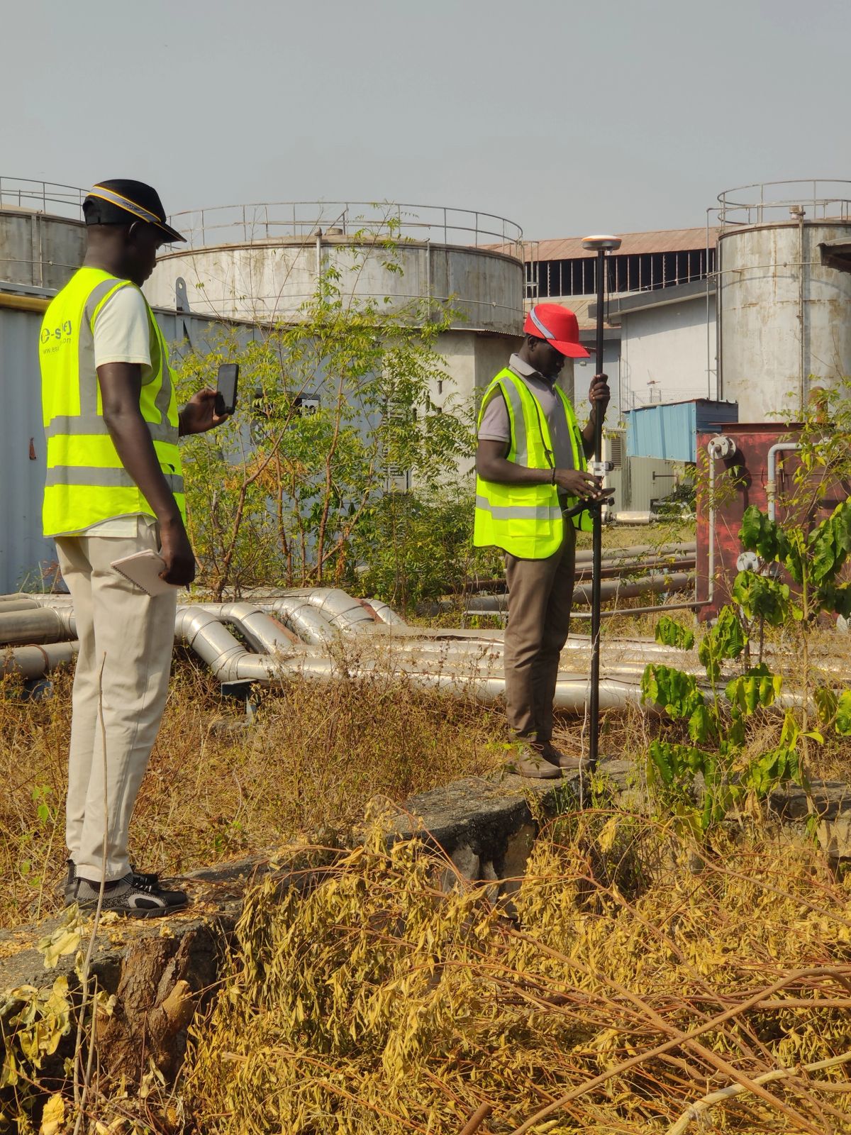
Our field teams use high-precision RTK GNSS receivers and total stations to map terrain, elevation, and boundaries with millimeter-level accuracy, then turn that data into detailed 2D and 3D digital blueprints your engineers and architects can build on with confidence. Whether you are planning a residential plot in Juba or a large infrastructure project across South Sudan, we can get your site mapped and your team moving with real data .
Talk to one of our engineers to schedule your topographic survey.